Full lesson previewFind Your Latitude with a Pirate-Era Quadrant
Science45 minutesGrades: 6th, 7th, 8th
Overview
Build a quadrant and measure Polaris to find your latitude.
Description
Your teen builds a simple quadrant from a protractor, straw, string and washer, uses complementary angles to turn the plumb-line reading into an altitude, practices on tall objects by day, and measures the North Star at night to estimate your latitude.
Objective
Your teen will build a working quadrant, use complementary angle relationships to convert a reading into an altitude angle, and explain why the altitude of Polaris is about equal to latitude in the Northern Hemisphere.
Standards
7.G.5Math · Grade 7 · Geometry Use facts about supplementary, complementary, vertical, and adjacent angles in a multi-step problem to write and solve simple equations for an unknown angle in a figure.
Materials
| Item | Quantity |
|---|
| Protractor (180°) | 1 |
| Drinking straw | 1 |
| String, about 12 inches, and a washer or nut as a weight | 1 each |
| Tape | 1 roll |
| Notebook and pencil | 1 each |
| Clear night sky away from bright lights (for the Polaris step) | 1 |
Vocabulary
Latitude
How far north or south of the equator a place is, measured in degrees.
Altitude (of a star)
The angle of a star above the horizon.
Quadrant
A quarter-circle tool with a plumb line, used by sailors to measure the height of the sun or stars.
Polaris
The North Star, which sits almost directly above Earth's North Pole.
Complementary angles
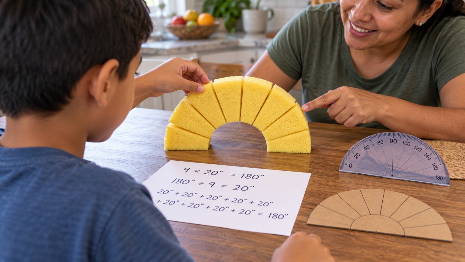
Two angles that add up to 90°.
Preparation
- Check tonight's weather for a clear sky. Find the Big Dipper direction with a free star chart app or a printed chart.
- Look up your town's latitude to check the result later (Fresno, CA is about 36.7° N).
Introduction
Hold up a protractor and a washer on a string. Ask: 'Sailors in the 1700s crossed oceans without GPS. With a tool this simple, they could tell how far north they were. How?'
What does the protractor measure?
Why might the North Star look higher in the sky in Alaska than in California?
Steps
1Step 1
Build the quadrant
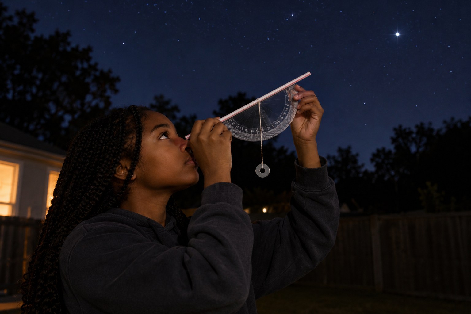
(8 min) Tape the straw along the straight edge of the protractor. Tie the washer to the string and tape the string's other end to the small hole or center mark of the protractor so it hangs freely across the scale.
2Step 2
Find the angle relationship
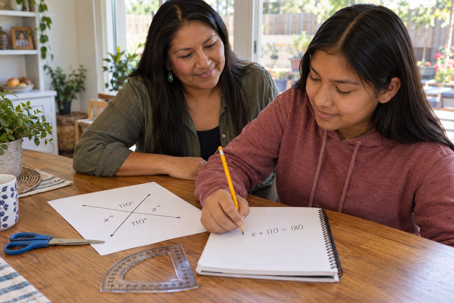
(8 min) Sight through the straw at something level: the string should hang across 90°. Tilt the straw upward and notice that the string reading decreases. Your teen writes an equation: altitude + reading = 90°, so altitude = 90° − reading, because the two angles are complementary.
3Step 3
Practice by day
(10 min) Outside, your teen sights the top of a tree, pole or building, has a partner read the string angle, and calculates the altitude. Repeat from two distances and record the readings in a table. Never sight the sun.
4Step 4
Measure Polaris
(12 min) After dark, find the Big Dipper and follow the two pointer stars at the end of its bowl to Polaris. Your teen sights Polaris three times, calculates the altitude each time and averages the results.
5Step 5
Compare to your real latitude
(5 min) Compare the average altitude to your town's actual latitude and calculate the error. Discuss sources of error such as a shaky hand, a swinging string and Polaris being about 0.7° from the true pole.
Conclusion
Ask: 'Why does Polaris's altitude equal your latitude? How did the complementary angle equation help?' Sailors could find latitude this way but not longitude, which stayed hard to measure until accurate sea clocks in the late 1700s.
Make your own lesson plan in minutes
Describe a topic and Resource Portal AI writes the objectives, materials and steps for your group.
Try Resource Portal AI