Ring of Fire Map: Plot Volcanoes on a Coordinate Grid
Overview
Plot real volcanoes on a grid and watch the Ring of Fire appear.
Description
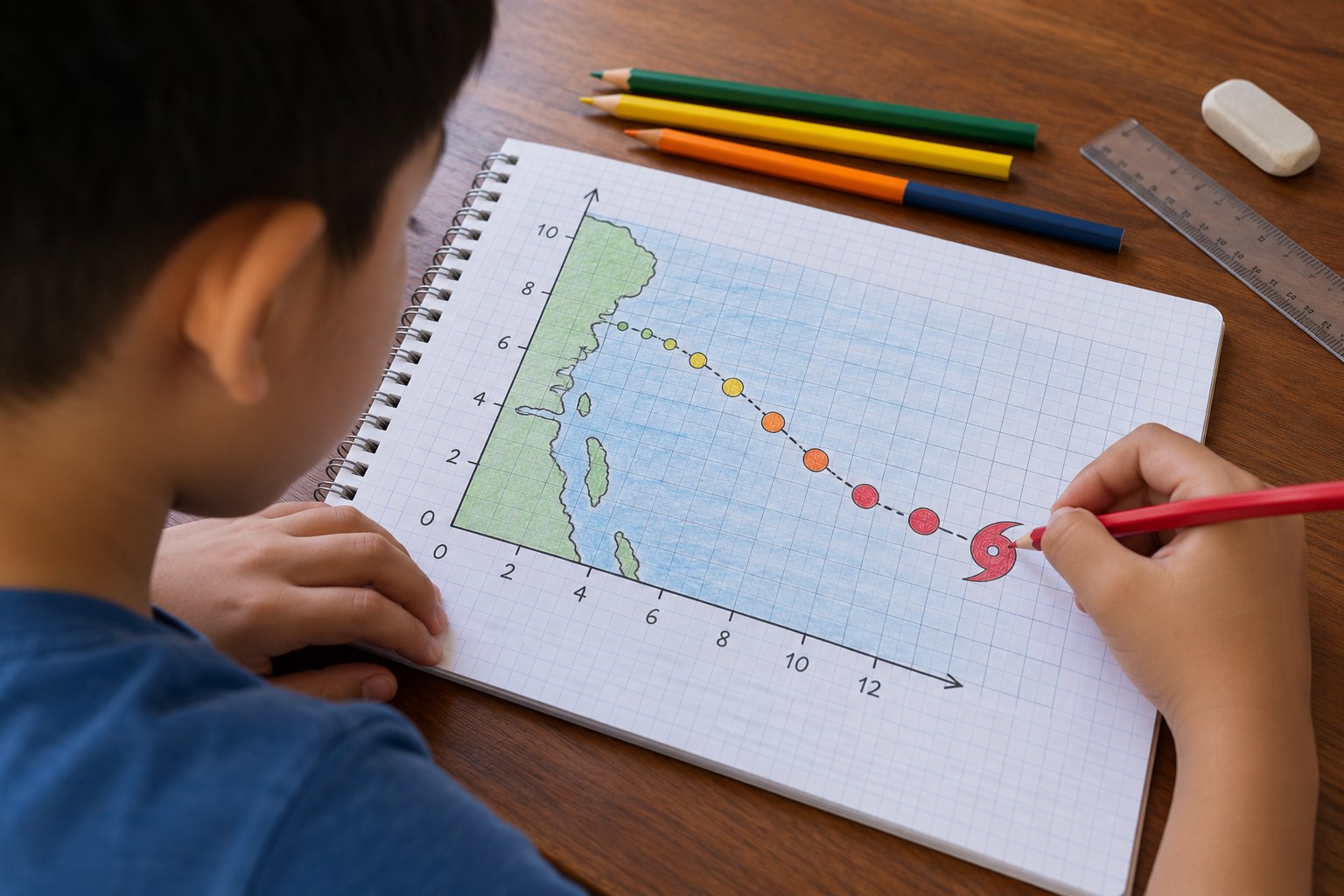
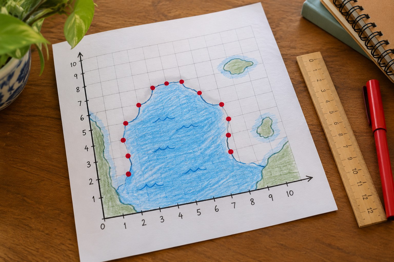
Your child draws a coordinate grid over a simplified Pacific Ocean map and plots 12 real volcanoes from ordered pairs. As the points go down, a horseshoe appears: the Ring of Fire. One volcano lands far from the ring, and your child works out why.
Objective
Your child will plot ordered pairs in the first quadrant, then use the pattern of points to describe where most volcanoes are found and explain the one that doesn't fit.
Standards
Materials
| Item | Quantity |
|---|---|
| Graph paper, or plain paper with a ruler | 1 sheet per child |
| Pencil and ruler | 1 each per child |
| Red marker or crayon | 1 per child |
| Blue colored pencil | 1 per child |
| World map, globe or online map to compare (optional) | 1 |
Vocabulary
Preparation
- Draw an x-axis from 0 to 20 and a y-axis from 0 to 14 on the graph paper, or let your child do it as part of step 1.
- Print or copy the 'Volcano coordinates' list.
Introduction
Ask: if volcanoes could pop up anywhere on Earth, would they be scattered randomly, or would they make a pattern? Let's plot some real ones and find out.
Have you heard of the Ring of Fire?
Why might volcanoes and earthquakes happen in the same places?
Steps
Conclusion
Ask your child to describe the Ring of Fire in their own words using the grid. Where is California on the map?
Make your own lesson plan in minutes
Describe a topic and Resource Portal AI writes the objectives, materials and steps for your group.
Try Resource Portal AI